
This May and June, we welcomed students David Decker (Carnegie Mellon University), Kelly Vigil (The School of Architecture) and Santiago Sanchez (The Southern California Institute of Architecture) to our Summer 2026 architecture program. During a visit to the Capitoline Museum, we talked about all about experiential learning in the Eternal City and what studying in Rome has meant to them as young architects.
This Spring, we talked to University of Massachusetts student in the Torre di Largo Argentina archeological park and learned how study abroad in Rome, at the Pantheon Institute, helped them get out of their comfort zone.
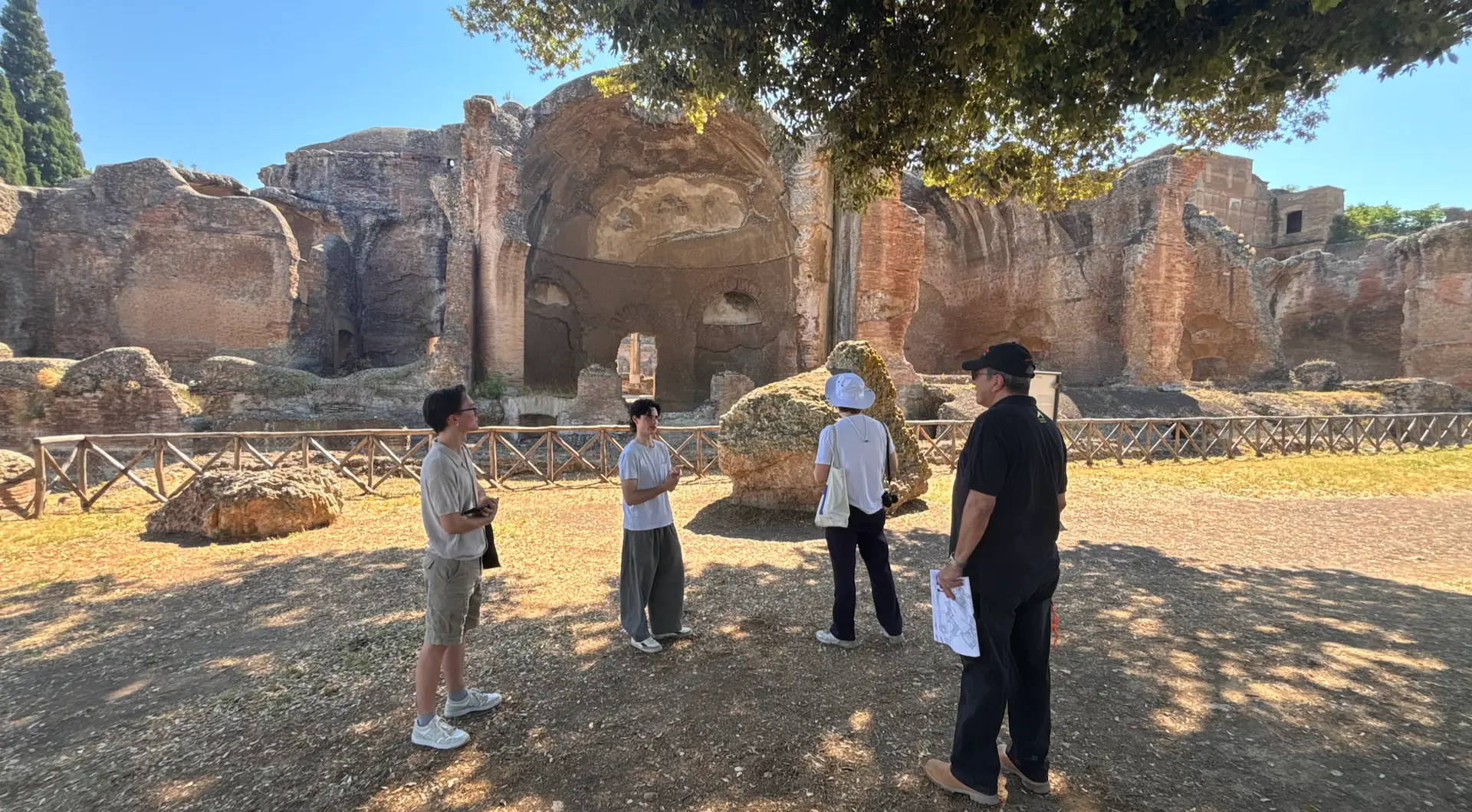
This Spring, our students toured the Italian Peninsula as part of our Academic Field Trip programming. From the ruins of Pompeii to Venice’s Ex Saffa district, we toured through 5 major Italian cities and across 3 Italian regions. Over the 7-day tour, we learned about ancient urban planning, Renaissance architectural innovation, Medieval fortification, Baroque design, and modern-day repurposing and reutilization of historical buildings. Read to learn more about where we went and what we saw.